coast line map - 海岸線のみ入った白地図をつくる 
 使うコマンド pscoast psbasemap
bash スクリプト例
# make coast line map
# parameter setting
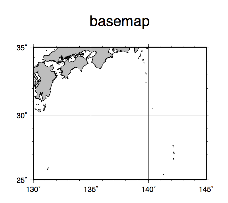
region=130/145/25/35
# map region east/west/south/north
proj=M10
# map projection and scale
frame=f1a5g5:.basemap:WSne # boundary tick info and title
psfile=coastbasemap.ps
# output postscript file name
#
gmt pscoast -R$region -J$proj -Di -Ggray -Wthin,black -K -V > $psfile
gmt psbasemap -R$region -J$proj -B$frame -O -V >> $psfile
Tips
- 海岸線の精度(-D)は図の縮尺に合わせて適切に選ぶ
- -Sオプションを使って、海の部分を着色することもできる